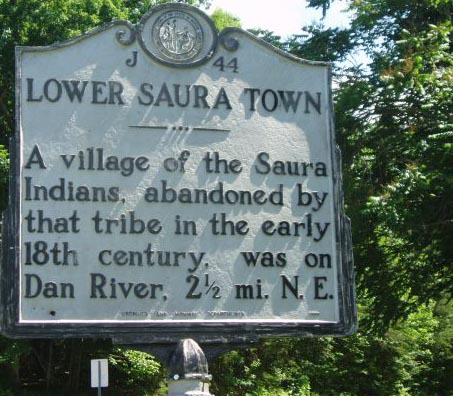
Upper Sauratown was on the west bank of the Dan River north of Town Fork Creek, and Lower Sauratown was on the south bank just below the confluence of the Dan and Smith Rivers. The towns were occupied in the second quarter of the seventeenth century and were abandoned in the early eighteenth century. While surveying his "Land of Eden" grant in North Carolina in 1733, William Byrd of Virginia visited the location of the former Lower Sauratown. The towns' names appear on the 1751 Fry-Jefferson map of Virginia and on the 1770 John Collet map of North Carolina. In the late eighteenth century, Lower Sauratown was a small frontier settlement and a plantation site. In the twentieth century the two town sites became important sources of archaeological information, with excavations beginning in 1938 and continuing into the 1970s and 1980s.
German explorer John Lederer, moving south from Virginia, visited the Saura in 1670. Three years later the Saura were encountered by Virginia Indian traders James Needham and Gabriel Arthur, the latter of whom returned to a Saura village in 1674. By the early eighteenth century the dwindling tribe, decimated by epidemic diseases, moved south to unite with the Keyauwee in the Yadkin-Pee Dee River Valley in South Carolina. Their village was situated near the present town of Wallace, S.C.
Some Sauras joined Col. John Barnwell's expedition against the Tuscarora in 1711-12 but did not complete the campaign. After the close of the Yamassee War, a 1715 South Carolina census numbered the Saura at 510 people settled near the North Carolina-South Carolina border (adjacent to modern-day Anson and Richmond Counties). That same year the Saura, who were trading with Virginians, were involved in raids against settlers, but by 1718 it appears they were at peace with the South Carolinians. Approximately three-quarters of the greatly reduced Saura, now known as the Cheraw, eventually went west to join the Catawba Nation, although they maintained much autonomy and political independence. The Cheraws who remained on settlements in the east along Drowning Creek (the modern-day Lumber River) are believed by some historians to have given rise to the Lumbee tribe. Despite this, today there are many individuals and communities who trace their heritage to the historical Saura tribe and who identify themselves as descedants of the Saura.
After devastating smallpox epidemics struck the Catawba and their satellites in the late eighteenth century, the Cheraw as a separate tribe disappeared from history. Their name is perpetuated in the Sauratown Mountains of Stokes County and in the town of Cheraw, S.C.